
Rapid response · Phoenix metro and across Arizona
Need eyes on a site tomorrow?
Send the address and what you need. Most jobs fly the next day, some the same day.
SVC / MAPPING
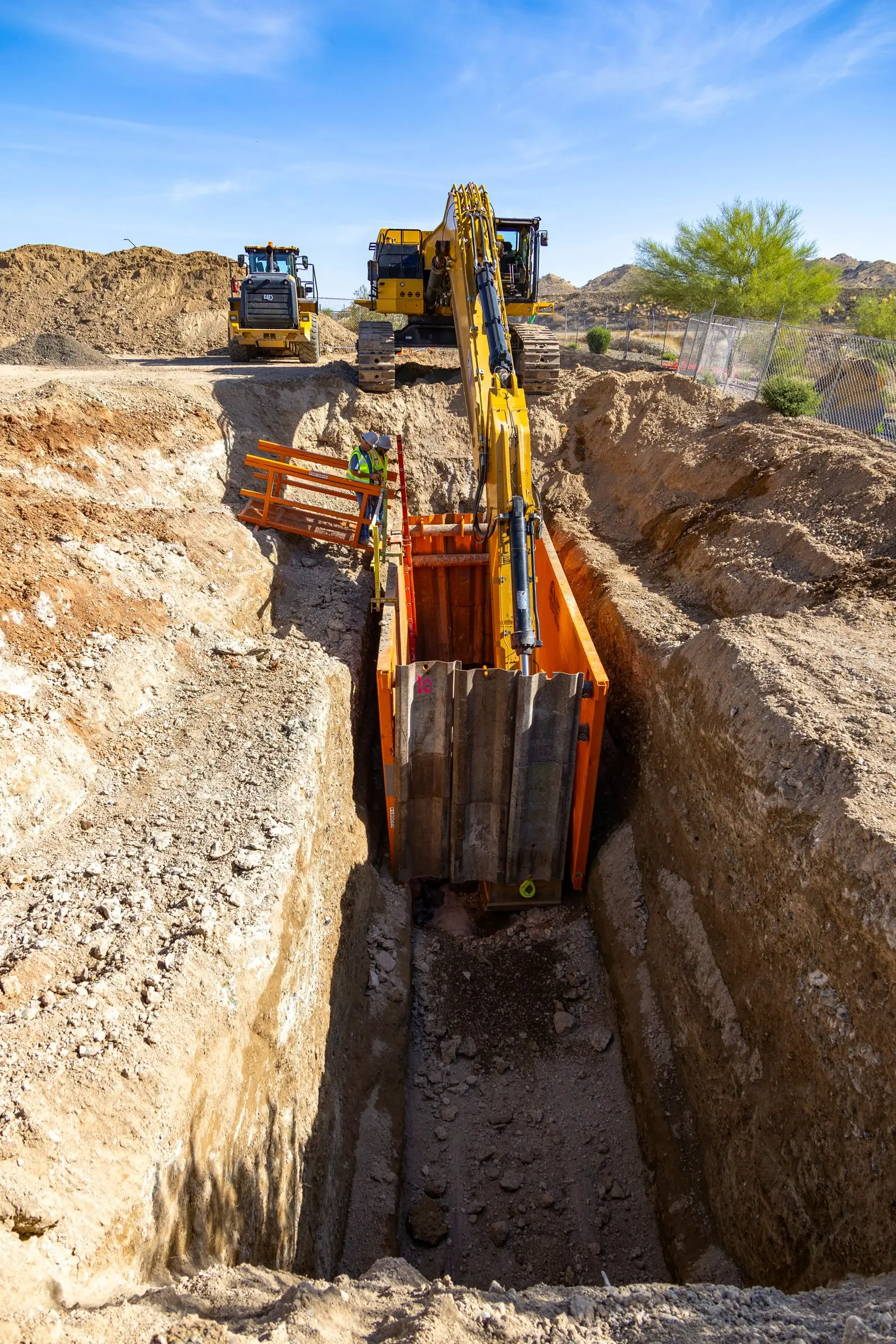
Overhead maps and 3D site models built from a mapping flight, for planning, coordination and records.
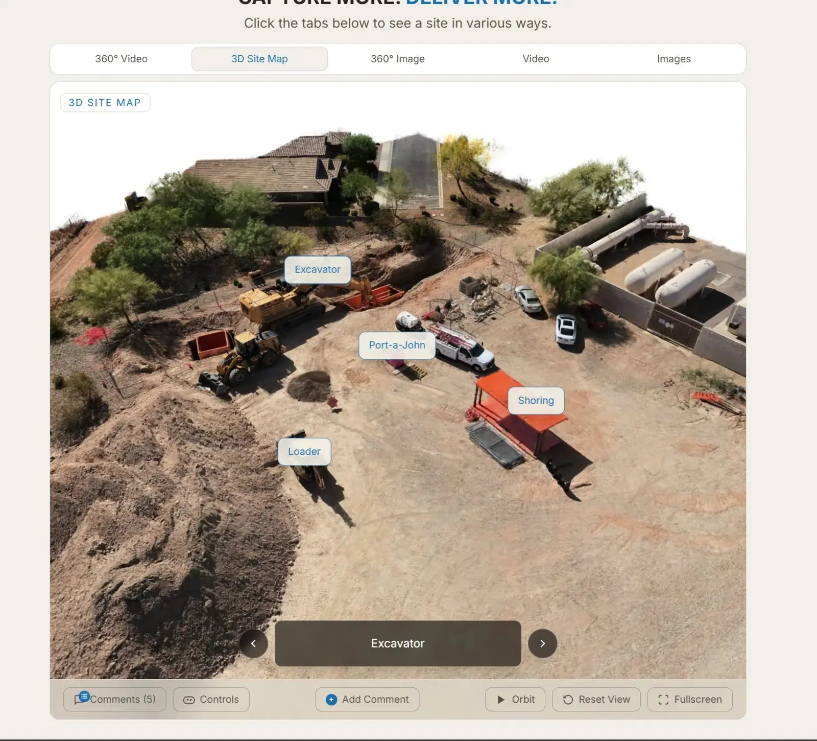
A mapping flight captures hundreds of overlapping images, which we process into an overhead map and a 3D model of the site.
Open the 3D site map in SiteLens360 to orbit, zoom and pin notes to exact locations. Repeat flights show how the site changes over time.
What you get
Good for
How it works
Send the address, what you need and when. We check airspace and permits the same day.
An FAA Part 107 pilot captures aerial, 360° and ground footage, often the next day.
Everything lands in a private SiteLens360 project you can view, comment on and share.
Included with every project
You get more than a download link. Every capture goes into a private SiteLens360 project, organized by date and viewable on any device.
Other services

Weekly or monthly flights that document every phase of the build.
View service →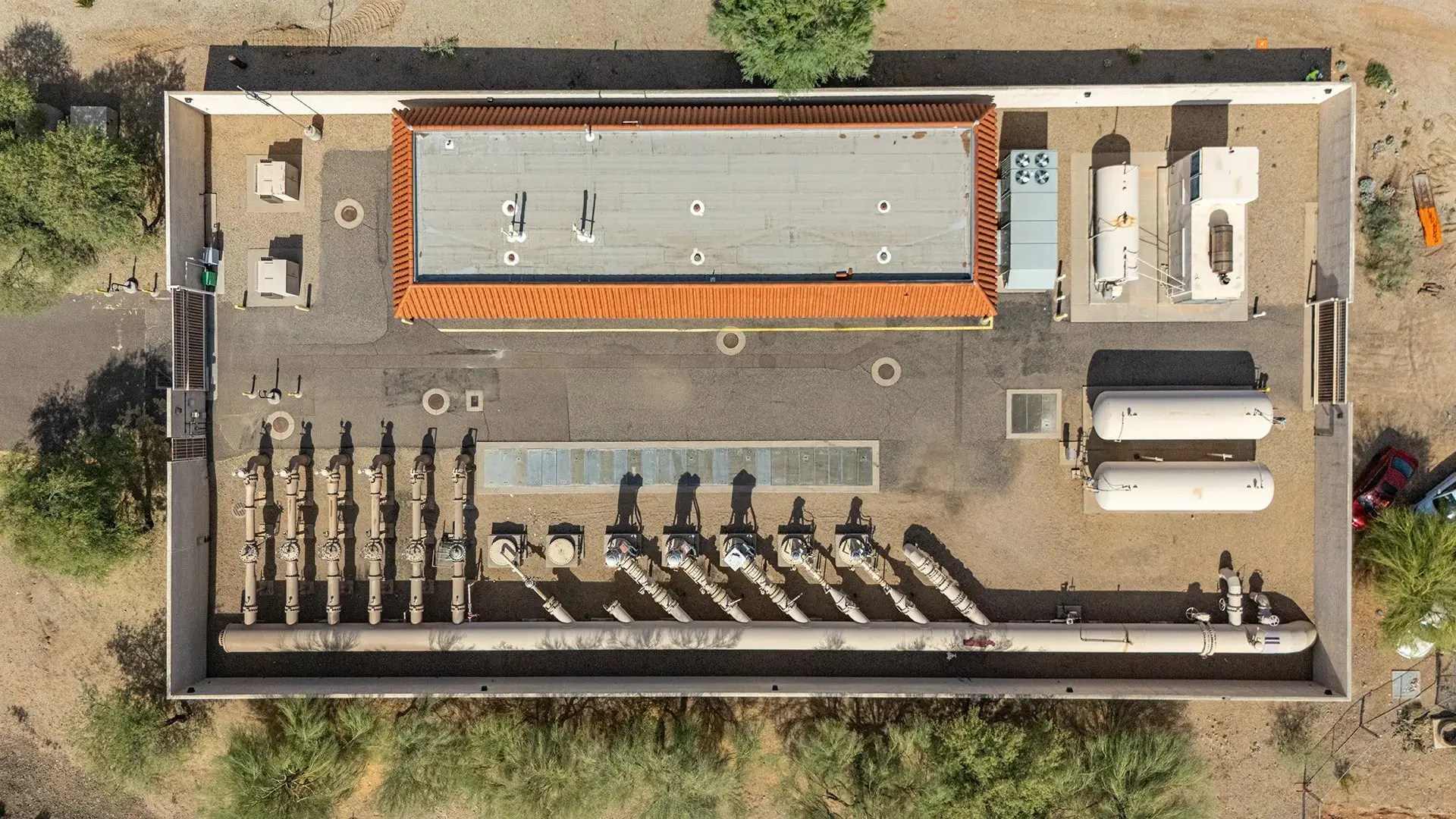
Roofs, facades and perimeters without a ladder or a lift.
View service →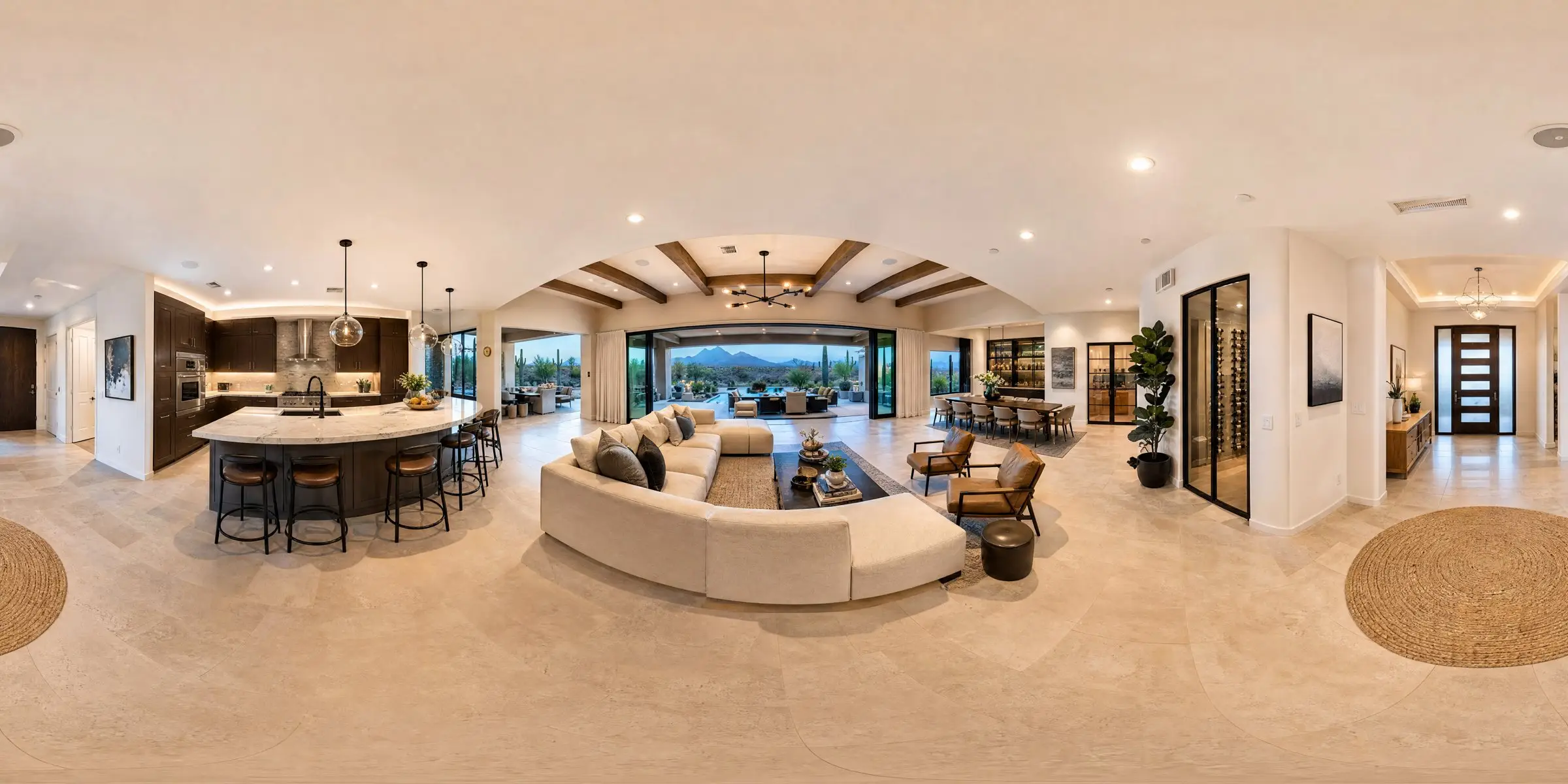
Aerial photos and walk-through tours that sell the property before the showing.
View service →Rapid response · Phoenix metro and across Arizona
Send the address and what you need. Most jobs fly the next day, some the same day.